
Jeff Clark from North Vancouver loves spending hundreds of hours perfecting each map he makes and has earned global recognition for his art.
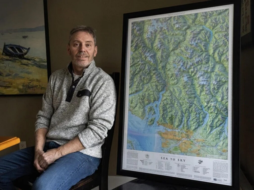
Clark’s Vancouver Island map recently won first place in the reference category at the Cartography and Geographic Information Society Map Design Competition, an international contest. In 2024, his Sea-to-Sky Corridor map won the same award as well as “best of show.”
The mapmaker from North Vancouver spends hundreds of hours carefully studying the details of B.C.’s geography to create each of his maps. Clark says he enjoys the process of making the maps more than worrying about winning awards. Clark creates his detailed maps by combining public data and satellite images using three different computer programs. He then spends hundreds of hours carefully choosing the most important details to include, such as the 100 largest trees or the boundaries of First Nations territories, showing how different places are connected.
Clark, who is well known in the international mapmaking world for his creations, describes himself as an “accidental” cartographer, as he stumbled into the industry back in 2008. In the past two decades, he has made maps of Garibaldi Provincial Park, the Salish Sea, the Sea-to-Sky region, and Vancouver Island, all from the basement of his North Vancouver home.
Clark’s maps showcase patterns of the landscape and the connections between cities and mountains. Through his artwork, he hopes people will learn more about the places where they live and remember how beautiful the region around them really is.
Source: Alanna Kelly, CBC